Wisdom Converges in the Thousand Islands, Deep Blue Tides Surge ——
2026 7th International Conference on Geology, Mapping and Remote Sensing Successfully Concludes in Zhoushan
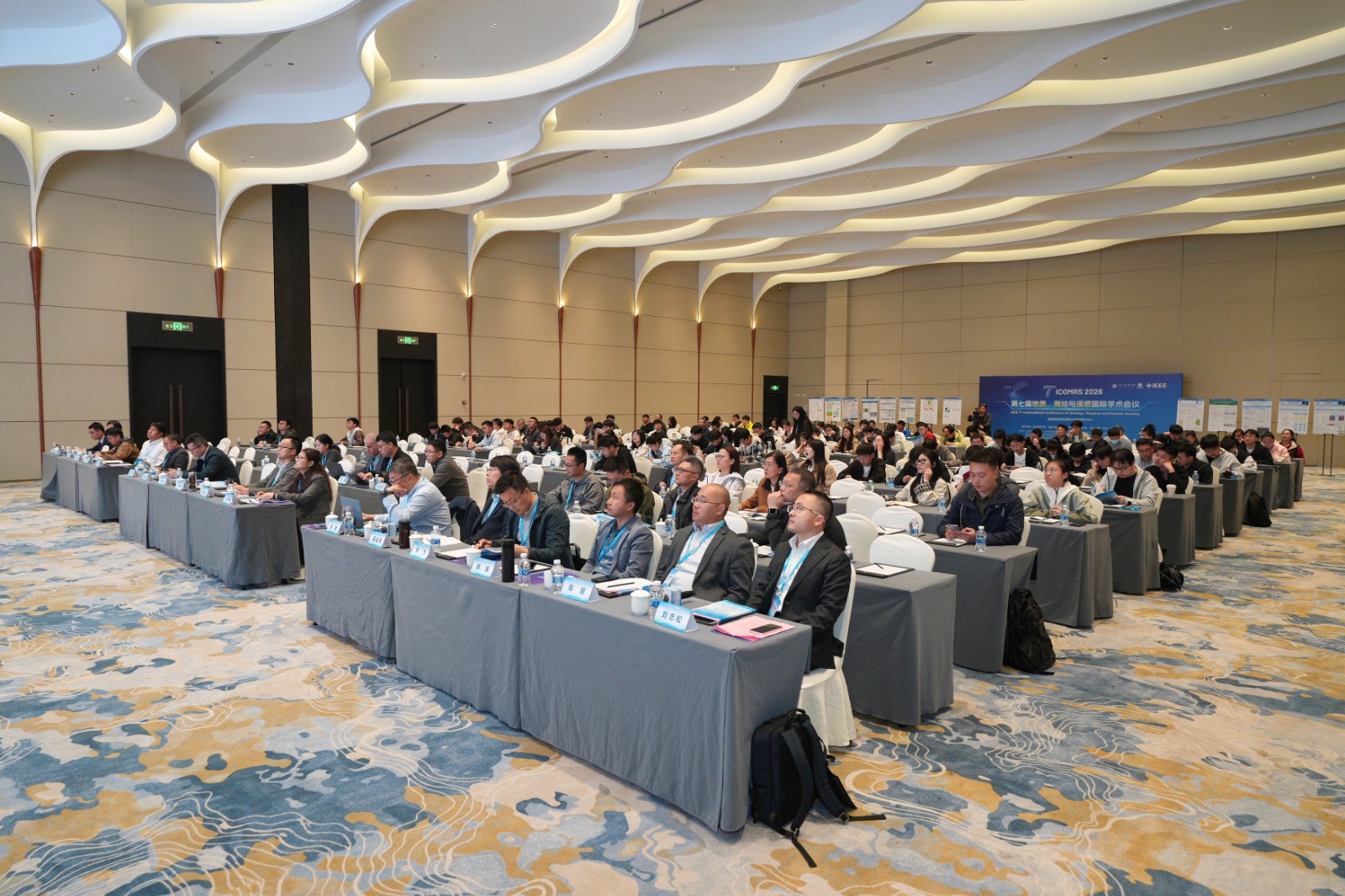
From April 18 to 19, 2026, 2026 7th International Conference on Geology, Mapping and Remote Sensing (ICGMRS 2026) was successfully held in Zhoushan, Zhejiang Province. The conference was hosted by Zhejiang Ocean University, organized by the School of Information Engineering of Zhejiang Ocean University, and technically supported by IEEE and the IEEE Nanjing Section. The event attracted nearly 200 experts, scholars, and young researchers from more than 30 universities and research institutions worldwide. Vice President Jinshu Lu of Zhejiang Ocean University and Chairman Wenbin Chen of the Zhoushan Association for Science and Technology attended the opening ceremony and delivered speeches. Participants engaged in in-depth and productive academic exchanges centered on the major theme of "Geology, Mapping and Remote Sensing Serving the Maritime Power Strategy".
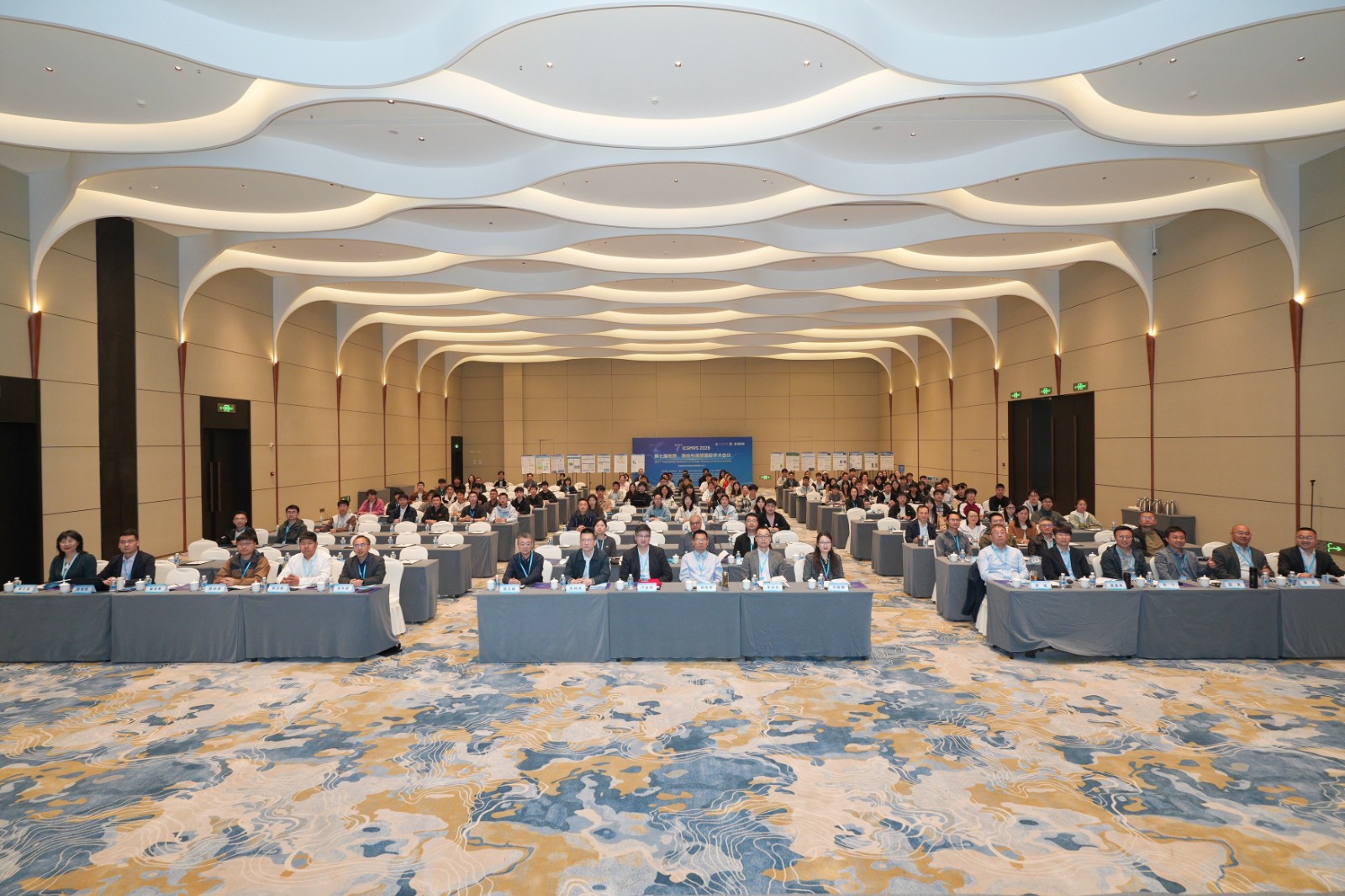
The opening ceremony was presided over by Professor Zhisong Liu, Dean of the School of Information Engineering, Zhejiang Ocean University. Vice President Jinshu Lu of Zhejiang Ocean University and Chairman Wenbin Chen of the Zhoushan Association for Science and Technology attended and addressed the ceremony.
In his speech, Vice President Lu extended a warm welcome to experts and scholars from home and abroad on behalf of the university. He introduced the university's overview and highlighted its strong emphasis on the interdisciplinary integration of surveying, mapping, remote sensing, and marine sciences. Zhejiang Ocean University has established research platforms such as a remote sensing satellite ground station and the Key Laboratory of Ocean Big Data Mining and Application of Zhejiang Province, achieving significant results in major national tasks including Arctic waterway monitoring, deep-sea offshore wind power intelligent operation and maintenance, and coastal zone ecological assessment. He expressed the hope that experts would take this conference as an opportunity to engage in deep exchanges, build consensus, strengthen cooperation, and jointly promote technological innovation and disciplinary development, contributing wisdom and strength to the construction of a maritime and technological power.

Chairman Chen highlighted Zhoushan's advantages in marine economy, port logistics, coastal tourism, and specialized industries. He noted that the conference would help introduce and promote cutting-edge technologies in geology, mapping, and remote sensing, facilitating the scientific development and protection of marine and island resources.

The keynote speech session featured brilliant presentations from eight distinguished experts:
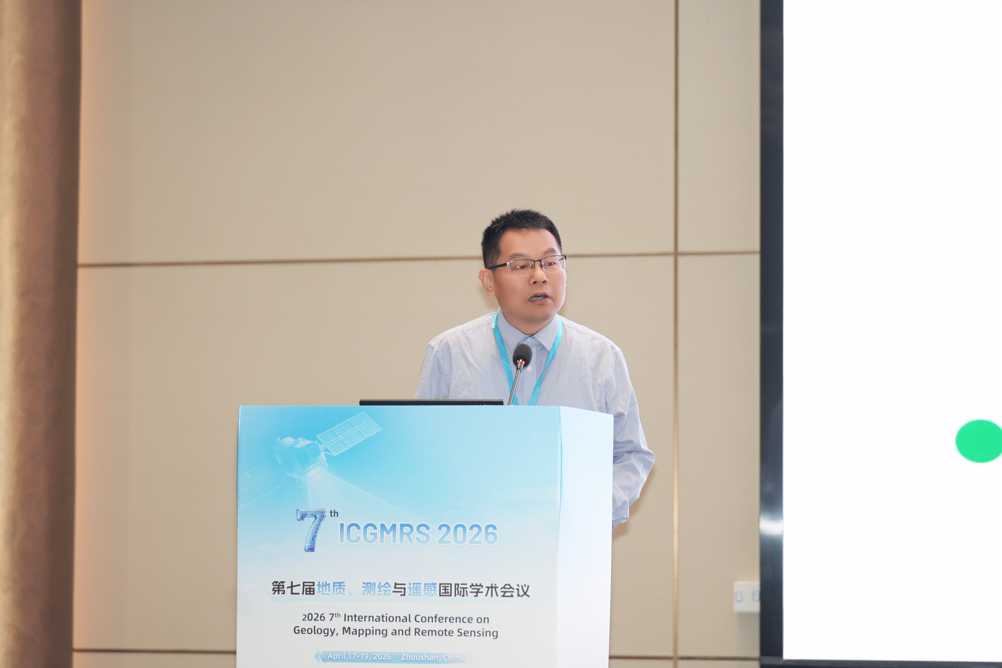
Researcher Xiyong Hou (Yantai Institute of Coastal Zone Research, Chinese Academy of Sciences) presented on "Remote Sensing of Coastal Resources and Environment", drawing a technological blueprint for dynamic monitoring of coastal ecological security.
Professor Weiwei Sun (Ningbo University) focused on "Mangrove Remote Sensing: From Dynamic Monitoring to Ecological Response", opening innovative pathways for coastal wetland protection and global carbon sink accounting.

Researcher Huaguo Zhang (Second Institute of Oceanography, MNR) shared "Remote Sensing Monitoring Technologies and Applications for Marine Ecology in Pacific Island Countries", demonstrating China’s solid commitment to serving the Belt and Road marine cooperation.

Professor Jialin Li (Ningbo University) offered an in-depth analysis of spatial resource evolution, land‑sea coordination, and resilience enhancement in high-intensity developed coastal zones from a land‑sea integration perspective.

Professor Saied Pirasteh (Shaoxing University / University of Waterloo) creatively integrated GeoGPT into earthquake building vulnerability and risk estimation, showcasing the powerful synergy of artificial intelligence and geospatial big data under the title "Geospatial Infrastructure Management Ecosystem (GeoIME): GeoGPT assists in earthquake building vulnerability and risk estimation".

Professor Zhisong Liu (Zhejiang Ocean University) assessed carbon storage in the Zhoushan Archipelago based on long-term remote sensing, injecting data-driven momentum into sustainable island development.

Professor Bin Zou (Harbin Institute of Technology) profoundly elucidated the representation, analysis, and application of polarimetric scattering mechanisms in PolSAR, advancing radar remote sensing theory toward engineering breakthroughs.

Associate Professor / Researcher Huaqiao Xing (Shandong Jianzhu University) introduced intelligent service methods for natural resources big data mining, providing a solid foundation for the smart upgrading of resource management under the title "Towards Intelligent Services for Natural Resources Big Data Mining".

These reports not only represent the cutting edge of marine remote sensing and surveying in China but also closely link profound theoretical innovations with practical urgent issues such as coastal zone protection, disaster warning, and carbon emission reduction. They truly stand "with feet on the ground while reaching for the sky", and their academic value and application significance are highly inspiring.
The conference also set up three special sessions: "Geology", "Surveying, Mapping and Navigation", "Remote Sensing" and the posters display. The presentations covered cutting-edge directions including deep learning‑driven remote sensing classification, high‑precision GNSS positioning, marine carbon storage estimation, and digital twin technology applications. Young scholars and senior experts engaged in deep exchanges and lively discussions in an open and equal academic atmosphere, making the on‑site academic ambiance very vibrant.